GeoEngineers Geospatial Gateway

GeoEngineers One-Stop Shop for Geospatial Data & Information

Find resources

GIS Onboarding Training

The GDS team created the GIS Onboarding Training to share the basics of creating GIS figures at GeoEngineers. This training reviews procedures to reserve a ArcGIS license, creating and working with GIS folder directories, review standard naming conventions, and learn how to use GeoEngineers figure templates and styles. This training is recommended for all GIS users within GeoEngineers.

GIS Onboarding Training
Export Image Tool

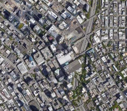
An online tool to quickly export georeferenced image to use in CAD or GIS figures.

Export Image Tool

XYZ Export Tool

An online tool to quickly generate a table of Latitude, Longitude and Elevation data from a collection of points. Points can be added by clicking on the map or by uploading a KML.

XYZ Export Tool

Coordinate Accuracy Information

In order to help everyone understand the accuracy limitations of commonly used sources of coordinates (horizontal and vertical) and ensure values are reported correctly and consistently, we have put together a table summarizing this information. We hope that this will help ensure we are not reporting coordinate values that indicate a higher level of accuracy than the source provides. Please contact Tonya Kauhi or Chad Stickel if you have questions.

Coordinate Accuracy Summary Table

Coordinate Template for gINT

In order to support GeoEngineers’ Subsurface Explorer application, horizontal and vertical coordinates are required for all explorations created in gINT. This excel workbook describes the workflow and format to provide horizontal and vertical coordinates to the gINT staff. The intended audience for this document is the GDS group, CAD group and GIS affiliates within GeoEngineers. Please save workbook to the project's gINT folder.

gINT Coordinate Template

GeoEngineers Figure Templates

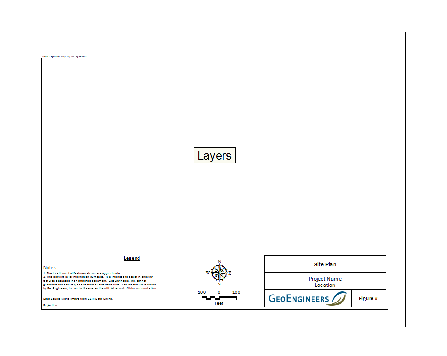
Learn how to find and use the GeoEngineers GIS figure templates. All figures created at GeoEngineers should use the GeoEngineers figure templates. Follow the directions to change the template of your MXD or if you are starting a new figure copy and paste from here: \\geofs1\GIS\Templates\.

Use Figure Templates

GeoEngineers Cartography Styles

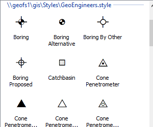
Learn how to add GeoEngineers standard styles to ArcMap. The Geospatial Data Services (GDS) Group along with the Cartographic Special Interest group, standardized symbols for a style set of common points, lines, and polygons. Adding this style to ArcMap will streamline workflows and help create standard figures.

Add Styles

Cartographic Guide

This guide describes common cartographic styles and workflow processes related to CAD and GIS figure production at GeoEngineers. It is intended to document and provide a guide to create consistent work products throughout GeoEngineers as well as provide a tool to train new staff. The intended audience for this document is the GDS group and CAD and GIS affiliates within GeoEngineers, however, it can be applied to any GeoEngineers staff that create figures for production.

Cartographic Guide