Subsurface Explorer
This interactive map displays subsurface data for GeoEngineers's projects and is ideal for gathering subsurface information on a site before drilling or exploration even begins.
Subsurface Explorer Map
This interactive map displays subsurface data for GeoEngineers's projects and is ideal for gathering subsurface information on a site before drilling or exploration even begins.
Subsurface Explorer Map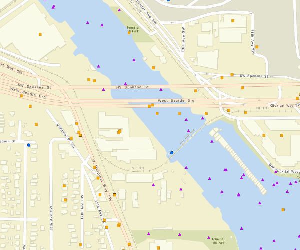
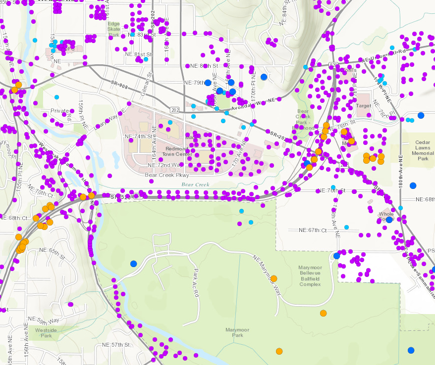
This map displays Environmental Data for Oregon and Washington that may be useful in environmental clean-up projects. Due to the large number of data locations, the user will need to zoom into a neighborhood/street level for the data to be visible.
Environmental Data Map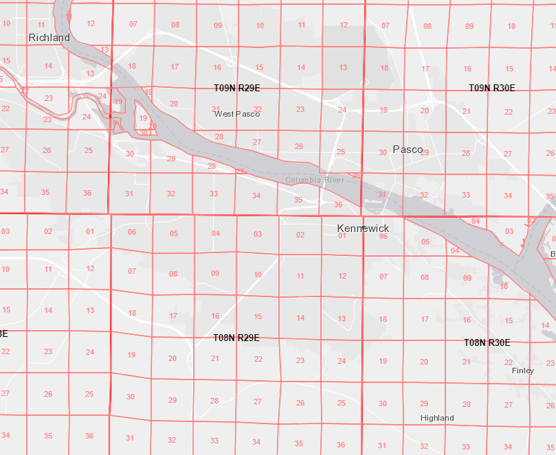
This map displays the Bureau of Land Management township, range and section information for the United States.
PLSS Map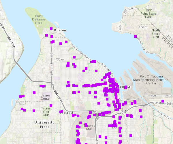
Tacoma Pierce County Health Department's inventory of old gas station properties in Pierce County completed in 2003. The project was called the Abandoned Commercial Tank (ACT) Project. The Abandoned Commercial Tank (ACT) Project researched historic property and business records to identify places in Pierce County that may have once been the site of a former gas station and might still contain abandoned commercial underground storage tanks. Project ACT provides information and assistance to property owners to help confirm the presence of tanks and have them legally removed.
Abandoned Commercial Tank (ACT) Project Map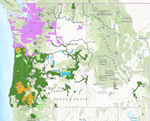
This map displays the LiDAR coverage for Washington's Puget Sound LiDAR Consortium and Oregon's DOGAMI. Once you have determined that your project site has LiDAR, please contact a member of the GDS team for downloading and processing of the data.
LiDAR Availability Map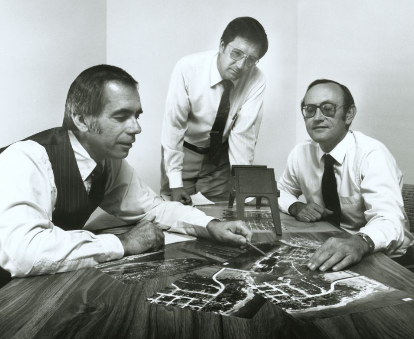
A story map detailing GeoEngineers' milestones over the past 35 years. Jack Tuttle, Gary Henderson and Jon Koloski founded GeoEngineers in September 1980. We believe that GeoEngineers is firmly anchored in the professional community and is well positioned for future growth and continued success. Key to this growth will be our relentless focus on client service and pursuit of technical excellence in our areas of practice.
History of GeoEngineers Map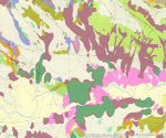
Washington State, Department of Natural Resources (DNR) 1:24,000, 1:100,000-scale surficial geology and landslide geohazard interactive map, with mapping data at multiple scales.
Washington Geology Map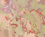
Oregon State, Department of Geology and Mineral Industries (DOGAMI) surficial geology and landslide geohazard interactive map, with mapping data at multiple scales.
Oregon Geology Map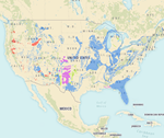
This interactive map displays karst topography of the United States.
Karst Topography Map